Book about spies and the French resistance during WW2. The book was already written (Alex Gerlis) & published, and the author wanted a locative AR mockup/ working demo to present to Publisher (agents). The concept was to expand the book using AR and Layar.
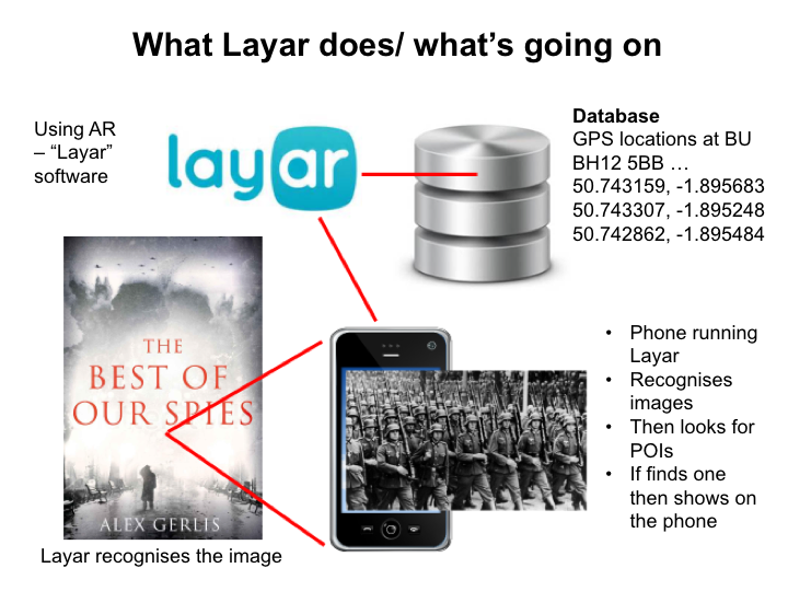
The solution needed to use image recognition (to recognise markers in the book) and also location.
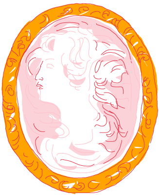
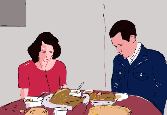
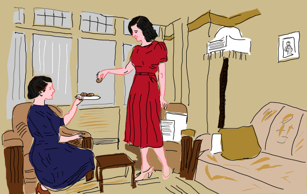
Images/ icons in the book via AR open up layers of additional info. These are maps, sounds, videos, materials ideally that exist already through the original book research – and the AR brings them to life.

Location based Points of Information (POI’s) – places described in the book. The idea is to show interesting things at these specific locations, which are relevant to the story, and in doing so extend/ expand the story. Much of the story was based in Northern France in WW2 and the AR pulled in photos and videos.
Here are some of the drawings used in the demo (images that were triggered by the AR):